Day 15
Western side of Glacier National Park
States: Montana
Total Miles: 4551
Time Zones: still in Mountain, 3 total
This turned out to be a great day even though the weather was iffy. Also, the greatest road in Glacier, aka Going-To-The-Sun Road is only open on the west side for 16 miles, up to Avalanche Campground. The road, when open, links west and east Glacier and crossed the Continental Divide at Logan Pass. They are still having too much snow to get the road open through the pass.
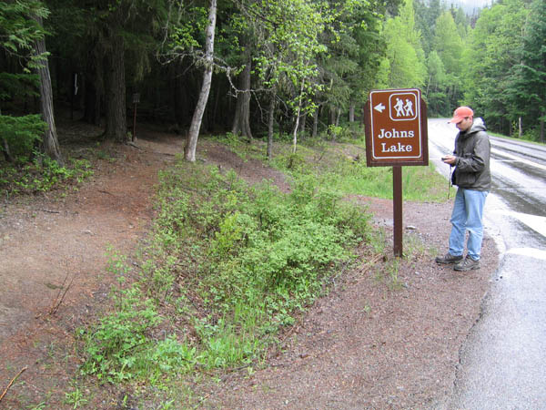
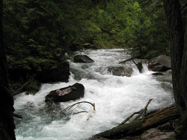
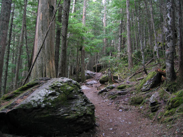
Our first stop was at the far end of Lake McDonald and did a little loop up to John's Lake and then around to McDonald Creek and eventually back to where we started. It was a pretty easy hike that went through some nice forested areas. John's Lake was pretty lame, but there were a couple nice falls on McDonald Creek.
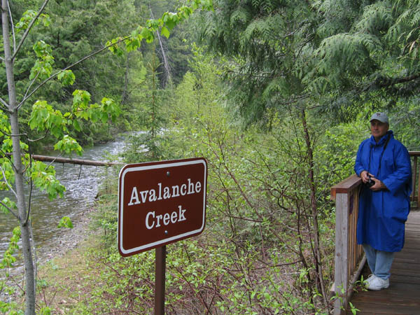
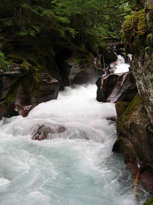
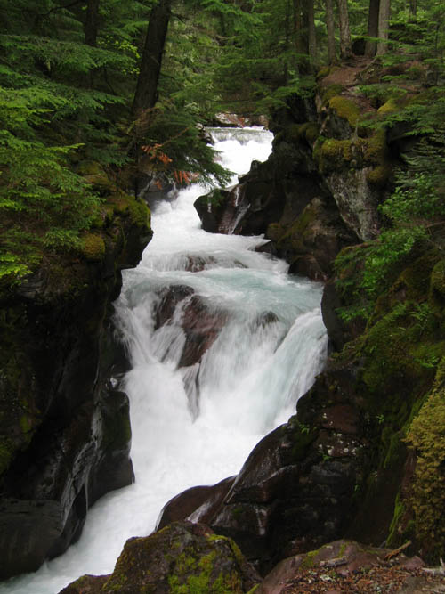
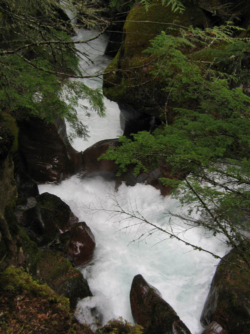
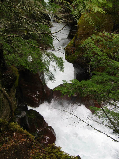
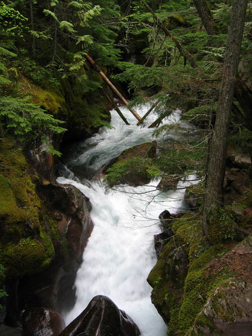
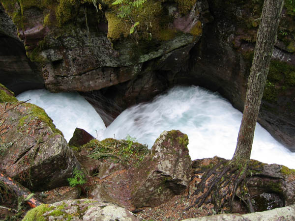
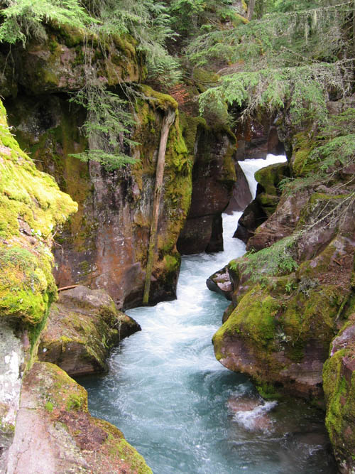
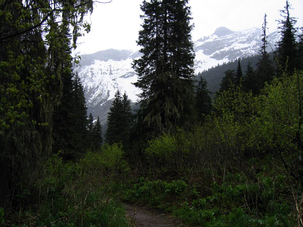
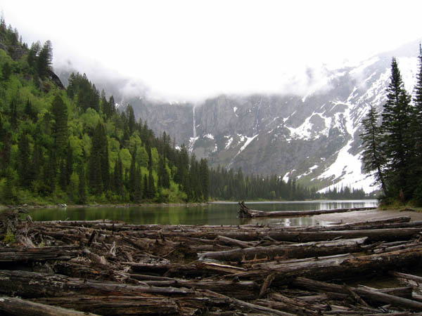
Next stop was the end of the road at Avalanche Campground. there was a short hike called Trail of the Cedars that was a wood boardwalk through a 500+ yr old cedar forest. At the far end of the loop, another trail headed up to Avalanche Lake. I'd suggest all people that go to Glacier to do this hike. The Avalanche Creek that runs down from the lake was fantastic. There is a stretch that is a narrow gorge formerly cut out by a glacier and worn away by the creek. My pictures will not be able to do it justice in any way. Even though I would have drown in an instant, it seemed like such a great waterslide adventure. The lake was surrounded by snow covered mountains and little fishermen - Ranger Rick was leading a band of schoolchildren on a fishing field trip. The Water Ousel was also a treat, I'm not sure I got any pictures of him though. He was a ordinary looking bird that just happened to dive underwater on occasion (Ranger Rick told us it was a water ousel).
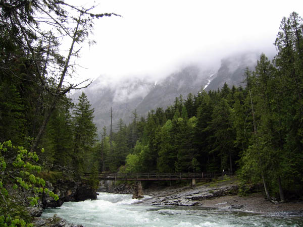
The last leg of the trip was a drive north up the edge of Glacier and then back around to Columbia Falls, between where we are staying and Glacier.
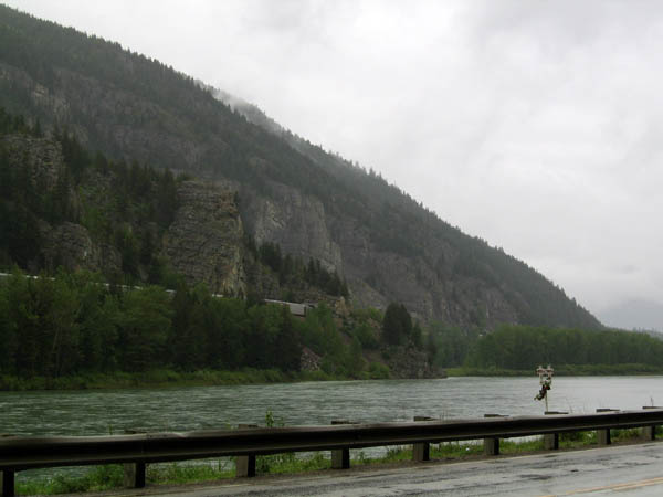
Nice cloudy ugly day on the way to Glacier:
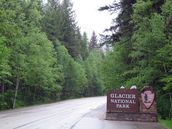
We have arrived:
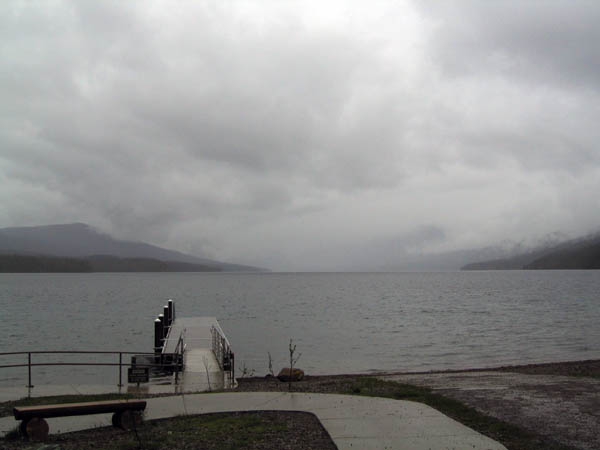
McDonald Lake:
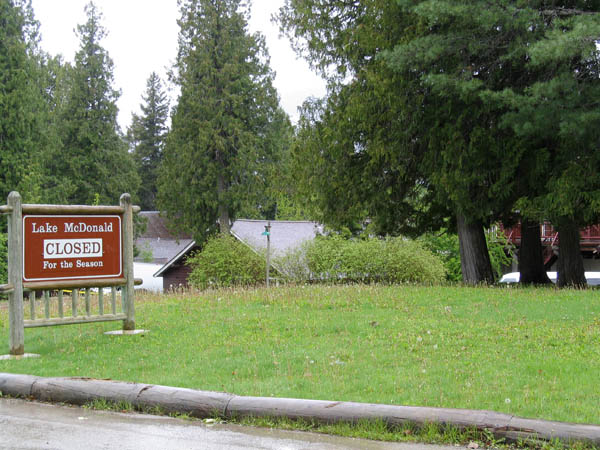
Doh, the lake is closed (98% of everything there was closed it seems):
John's Lake and McDonald Creek Loop hike (using GPS to see which way to go...
duh):
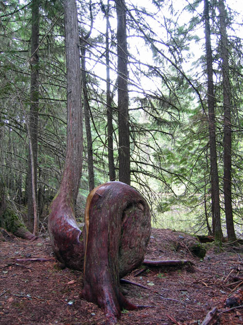
Unique tree:
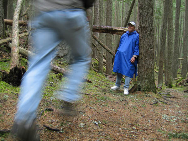
Setting the timer (poorly):
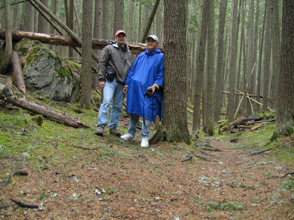
Ok, a little more time:
Falls on McDonald Creek:
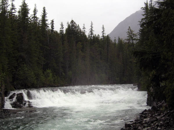
Bridge where picture above was taken:
Avalanche Creek/Lake Hike:
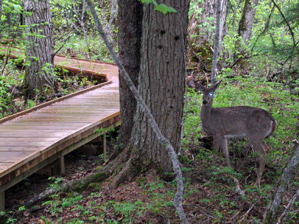
Deer on Trail-of-the-Cedars that leads to the Avalanche hike:
The gorge, many pictures that don't really represent well:
Top of gorge, guess my pictures are not in order...
Following 2 pics are hard to describe. There is actually a spot where the water drops down and goes under and arch of rock. It was pretty wierd the way the water kinda disappeared for a moment. Neither picture shows the hole too well but you can see it if you strain.
I like this picture (bottom of the gorge):
Typical look of the hike:
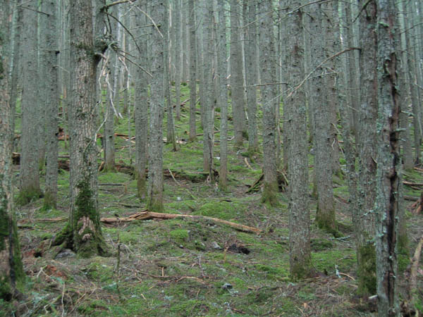
Some nice areas of carpeted forest:
Almost to Avalanche Lake:
Avalanche Lake:
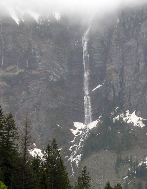
Waterfall at the far end of the lake, seemed to just fall out of the clouds:
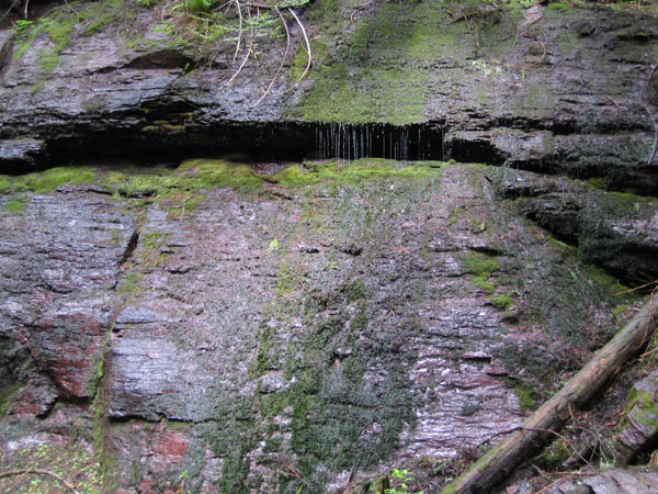
Some interesting waterfalls and runoffs on the last part of the
Trail-of-the-Cedars:
Tomorrow, the south and west side of Glacier...